Emmaus Chapel, Pontnewynydd
Introduction
The photograph on this page of Emmaus Chapel, Pontnewynydd by Jaggery as part of the Geograph project.
The Geograph project started in 2005 with the aim of publishing, organising and preserving representative images for every square kilometre of Great Britain, Ireland and the Isle of Man.

There are currently over 7.5m images from over 14,400 individuals and you can help contribute to the project by visiting https://www.geograph.org.uk
Emmaus Chapel, Pontnewynydd
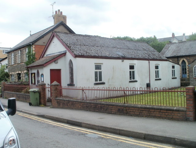
Image: © Jaggery Taken: 9 May 2011
Located on Freeholdland Road. The chapel is one of 35 chapels or churches in Wales which are affiliated to the Congregational Federation. On the left is Chapel House. http://www.geograph.org.uk/photo/2127916
Images are licensed for reuse under creativecommons.org/licenses/by-sa/2.0
Image Location
Latitude
51.712888
Longitude
-3.055098