Freeholdland Road houses, Pontnewynydd
Introduction
The photograph on this page of Freeholdland Road houses, Pontnewynydd by Jaggery as part of the Geograph project.
The Geograph project started in 2005 with the aim of publishing, organising and preserving representative images for every square kilometre of Great Britain, Ireland and the Isle of Man.

There are currently over 7.5m images from over 14,400 individuals and you can help contribute to the project by visiting https://www.geograph.org.uk
Freeholdland Road houses, Pontnewynydd
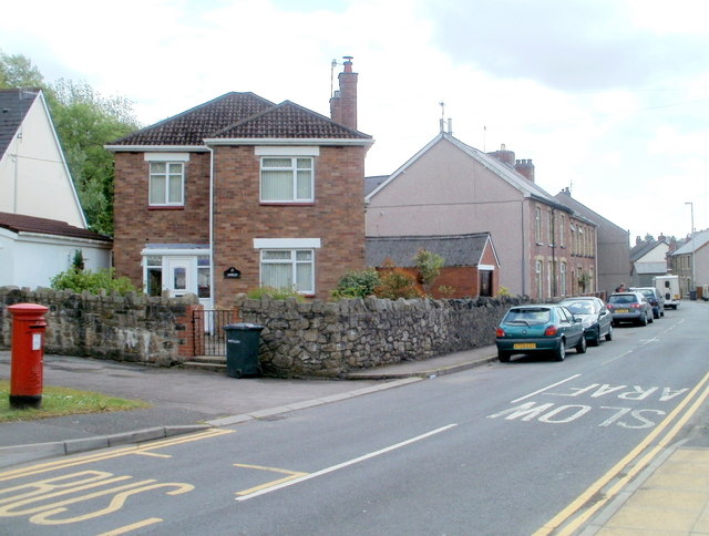
Image: © Jaggery Taken: 9 May 2011
A detached house and a short row of houses are on the eastern side of Freeholdland Road, viewed from near the point where the road (the B4246) is renamed Limekiln Road, behind the camera.
Images are licensed for reuse under creativecommons.org/licenses/by-sa/2.0
Image Location
Latitude
51.716458
Longitude
-3.058076