Path through Monkton Wood
Introduction
The photograph on this page of Path through Monkton Wood by Graham Horn as part of the Geograph project.
The Geograph project started in 2005 with the aim of publishing, organising and preserving representative images for every square kilometre of Great Britain, Ireland and the Isle of Man.

There are currently over 7.5m images from over 14,400 individuals and you can help contribute to the project by visiting https://www.geograph.org.uk
Path through Monkton Wood
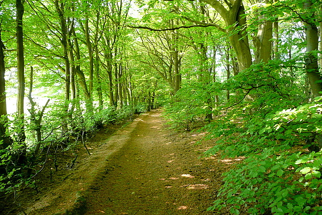
Image: © Graham Horn Taken: 30 Apr 2011
The beautiful woodland is all to the right. To the left are open fields, but you don't get the impression you are on the edge, there appear to be trees all around you.
Images are licensed for reuse under creativecommons.org/licenses/by-sa/2.0
Image Location
Latitude
51.696987
Longitude
-0.787462