Junction of minor roads near Waxway
Introduction
The photograph on this page of Junction of minor roads near Waxway by David Smith as part of the Geograph project.
The Geograph project started in 2005 with the aim of publishing, organising and preserving representative images for every square kilometre of Great Britain, Ireland and the Isle of Man.

There are currently over 7.5m images from over 14,400 individuals and you can help contribute to the project by visiting https://www.geograph.org.uk
Junction of minor roads near Waxway
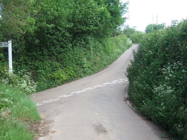
Image: © David Smith Taken: 9 May 2011
The road to the left is signposted to Tipton St John, and the other two run along the west side of East Hill, following contours, and linking farms.
Images are licensed for reuse under creativecommons.org/licenses/by-sa/2.0
Image Location
Latitude
50.726393
Longitude
-3.259185