Park Lane
Introduction
The photograph on this page of Park Lane by John Sutton as part of the Geograph project.
The Geograph project started in 2005 with the aim of publishing, organising and preserving representative images for every square kilometre of Great Britain, Ireland and the Isle of Man.

There are currently over 7.5m images from over 14,400 individuals and you can help contribute to the project by visiting https://www.geograph.org.uk
Park Lane
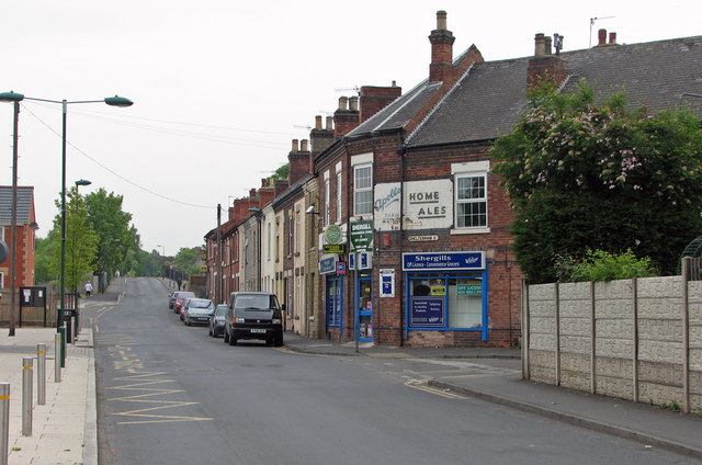
Image: © John Sutton Taken: 6 May 2011
For a close-up of the old Home Brewery sign on the off licence on the corner of Cheltenham Street, see Image Straight ahead Park Lane once crossed the Great Northern Railway line from Nottingham to Derby Friargate. The bridge is still there, but there is little other evidence there was ever a railway here as the railway land has been redeveloped for housing and commercial purposes. See Image], Image] and Image
Images are licensed for reuse under creativecommons.org/licenses/by-sa/2.0
Image Location
Latitude
52.989515
Longitude
-1.180032