Former canal bridge near Edford
Introduction
The photograph on this page of Former canal bridge near Edford by David Tyers as part of the Geograph project.
The Geograph project started in 2005 with the aim of publishing, organising and preserving representative images for every square kilometre of Great Britain, Ireland and the Isle of Man.

There are currently over 7.5m images from over 14,400 individuals and you can help contribute to the project by visiting https://www.geograph.org.uk
Former canal bridge near Edford
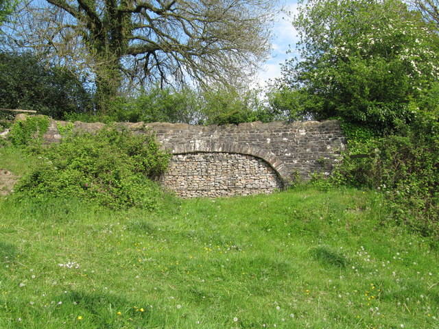
Image: © David Tyers Taken: 2 May 2011
Infilled arch of a bridge over the course of the abandoned Dorset and Somerset Canal.
Images are licensed for reuse under creativecommons.org/licenses/by-sa/2.0
Image Location


Leaflet Map data © OpenStreetMap
Latitude
51.23759
Longitude
-2.476369