Tillingham Fire Station
Introduction
The photograph on this page of Tillingham Fire Station by Ken Moore as part of the Geograph project.
The Geograph project started in 2005 with the aim of publishing, organising and preserving representative images for every square kilometre of Great Britain, Ireland and the Isle of Man.

There are currently over 7.5m images from over 14,400 individuals and you can help contribute to the project by visiting https://www.geograph.org.uk
Tillingham Fire Station
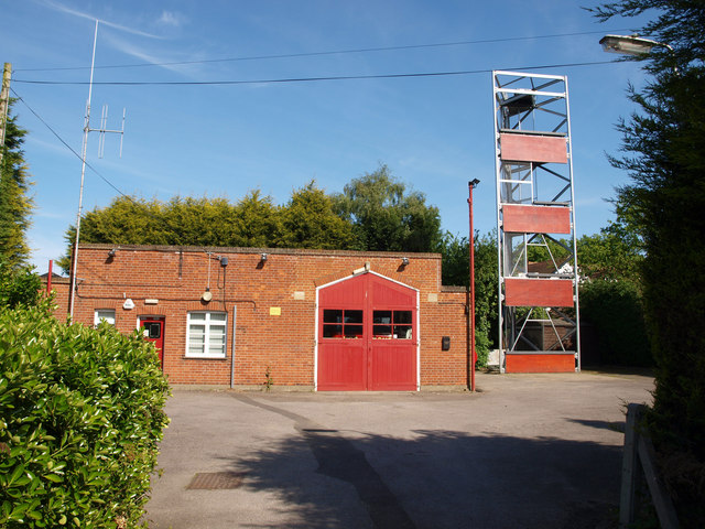
Image: © Ken Moore Taken: 4 May 2011
Tillingham fire station is found up a driveway between two houses, so not easy to spot. The station was built during or just after WWII.
Images are licensed for reuse under creativecommons.org/licenses/by-sa/2.0
Image Location
Latitude
51.698874
Longitude
0.879846