Ladywell Lodge
Introduction
The photograph on this page of Ladywell Lodge by Derek Harper as part of the Geograph project.
The Geograph project started in 2005 with the aim of publishing, organising and preserving representative images for every square kilometre of Great Britain, Ireland and the Isle of Man.

There are currently over 7.5m images from over 14,400 individuals and you can help contribute to the project by visiting https://www.geograph.org.uk
Ladywell Lodge
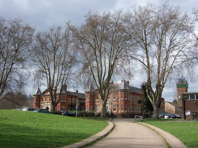
Image: © Derek Harper Taken: 11 Mar 2011
These two blocks, with a connecting block out of sight, are the remnants of the Bermondsey Union Workhouse, dating from 1900, and now flats. On the right, behind Image, is Image
Images are licensed for reuse under creativecommons.org/licenses/by-sa/2.0
Image Location
Latitude
51.452379
Longitude
-0.024533