The Forgotten Road - Pye Corner
Introduction
The photograph on this page of The Forgotten Road - Pye Corner by Steve Coffin as part of the Geograph project.
The Geograph project started in 2005 with the aim of publishing, organising and preserving representative images for every square kilometre of Great Britain, Ireland and the Isle of Man.

There are currently over 7.5m images from over 14,400 individuals and you can help contribute to the project by visiting https://www.geograph.org.uk
The Forgotten Road - Pye Corner
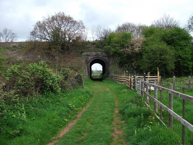
Image: © Steve Coffin Taken: 15 Apr 2011
Railway Bridge at Pye Corner> Winterbourne Church spire visible through the arch.
Images are licensed for reuse under creativecommons.org/licenses/by-sa/2.0
Image Location
Latitude
51.515087
Longitude
-2.515864