Riverside walk direction sign, Trehafod
Introduction
The photograph on this page of Riverside walk direction sign, Trehafod by Jaggery as part of the Geograph project.
The Geograph project started in 2005 with the aim of publishing, organising and preserving representative images for every square kilometre of Great Britain, Ireland and the Isle of Man.

There are currently over 7.5m images from over 14,400 individuals and you can help contribute to the project by visiting https://www.geograph.org.uk
Riverside walk direction sign, Trehafod
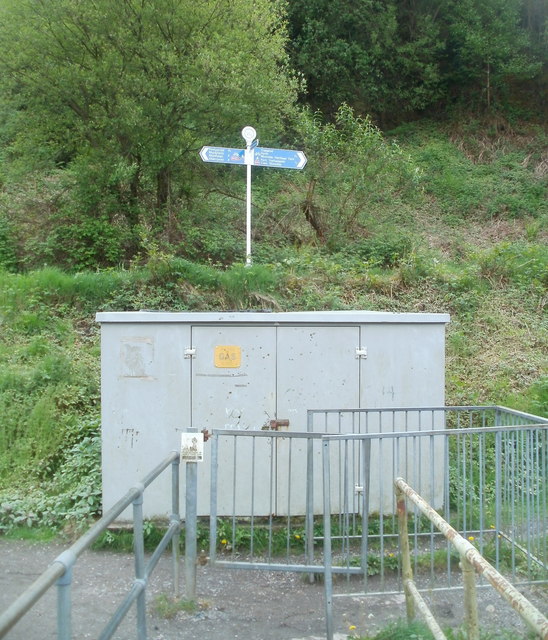
Image: © Jaggery Taken: 6 May 2011
At the southern end of a River Rhondda footbridge http://www.geograph.org.uk/photo/2396817 a sign points left for Pontypridd (1¾) Rhydyfelin (4) and Abercynon (6), right for Trehafod and Rhondda Heritage Park (¼) and Porth (1½). Distances are in miles.
Images are licensed for reuse under creativecommons.org/licenses/by-sa/2.0
Image Location
Latitude
51.607958
Longitude
-3.376142