Tressillian Road, SE4
Introduction
The photograph on this page of Tressillian Road, SE4 by Derek Harper as part of the Geograph project.
The Geograph project started in 2005 with the aim of publishing, organising and preserving representative images for every square kilometre of Great Britain, Ireland and the Isle of Man.

There are currently over 7.5m images from over 14,400 individuals and you can help contribute to the project by visiting https://www.geograph.org.uk
Tressillian Road, SE4
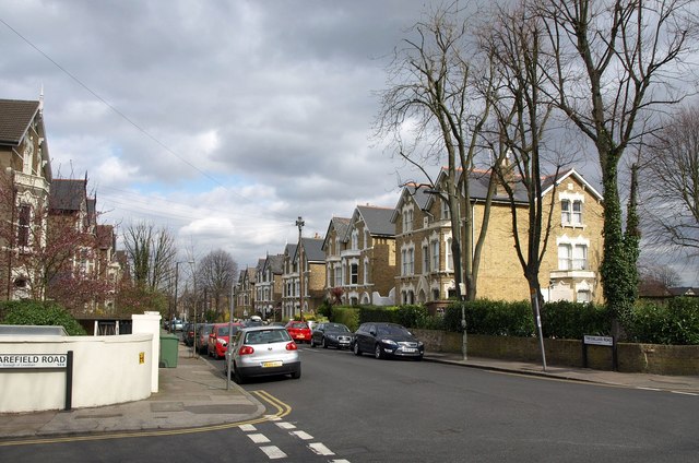
Image: © Derek Harper Taken: 11 Mar 2011
A view northwards from the junction shown in Image The semi-detached houses in this conservation area are discussed on page 13 of http://www.lewisham.gov.uk/NR/rdonlyres/979A6EA4-9C2A-466B-940E-962077E79D68/0/BrockleyCAA4_1334.pdf .
Images are licensed for reuse under creativecommons.org/licenses/by-sa/2.0
Image Location
Latitude
51.463145
Longitude
-0.028387