Rough pastures around Farmal Sike
Introduction
The photograph on this page of Rough pastures around Farmal Sike by Mike Quinn as part of the Geograph project.
The Geograph project started in 2005 with the aim of publishing, organising and preserving representative images for every square kilometre of Great Britain, Ireland and the Isle of Man.

There are currently over 7.5m images from over 14,400 individuals and you can help contribute to the project by visiting https://www.geograph.org.uk
Rough pastures around Farmal Sike
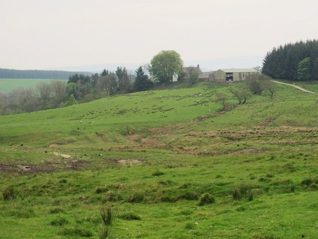
Image: © Mike Quinn Taken: 5 May 2011
Looking towards Highstead Ash.
Images are licensed for reuse under creativecommons.org/licenses/by-sa/2.0
Image Location
Latitude
55.016718
Longitude
-2.627243