Road junction, Swanley Village
Introduction
The photograph on this page of Road junction, Swanley Village by Ian Capper as part of the Geograph project.
The Geograph project started in 2005 with the aim of publishing, organising and preserving representative images for every square kilometre of Great Britain, Ireland and the Isle of Man.

There are currently over 7.5m images from over 14,400 individuals and you can help contribute to the project by visiting https://www.geograph.org.uk
Road junction, Swanley Village
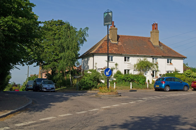
Image: © Ian Capper Taken: 4 May 2011
Junction of School Lane with Highlands Hill and Swanley Village Road. For close up of village sign, see Image and for close up of the direction sign to the church, just visible to the left of the house, see Image
Images are licensed for reuse under creativecommons.org/licenses/by-sa/2.0
Image Location
Latitude
51.405006
Longitude
0.19281