Old Railway Carriages near the Dramway
Introduction
The photograph on this page of Old Railway Carriages near the Dramway by Linda Bailey as part of the Geograph project.
The Geograph project started in 2005 with the aim of publishing, organising and preserving representative images for every square kilometre of Great Britain, Ireland and the Isle of Man.

There are currently over 7.5m images from over 14,400 individuals and you can help contribute to the project by visiting https://www.geograph.org.uk
Old Railway Carriages near the Dramway
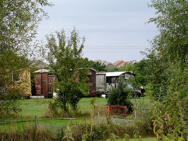
Image: © Linda Bailey Taken: 12 Sep 2006
The photograph was taken from on the cycle path which was an old railway line - perhaps the carriages have come from this line. Emerson's Green - a new housing development is seen in the background. The Dramway was the local name for the horse drawn railway line linking Coalpit Heath with the River Avon.
Images are licensed for reuse under creativecommons.org/licenses/by-sa/2.0
Image Location
Latitude
51.490117
Longitude
-2.466611