The Robin Hood and Little John
Introduction
The photograph on this page of The Robin Hood and Little John by Derek Harper as part of the Geograph project.
The Geograph project started in 2005 with the aim of publishing, organising and preserving representative images for every square kilometre of Great Britain, Ireland and the Isle of Man.

There are currently over 7.5m images from over 14,400 individuals and you can help contribute to the project by visiting https://www.geograph.org.uk
The Robin Hood and Little John
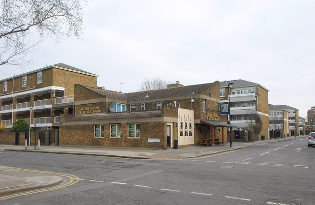
Image: © Derek Harper Taken: 11 Mar 2011
Another view of the pub shown in Image, from across Lilford Road. The road crossing it is Flaxman Road. Could there be a connection with the fact that a pair of stones called Robin Hood and Little John are beside the River Nene (near Peterborough), as is a village called Lilford (abeit a lot further upstream)? Probably not.
Images are licensed for reuse under creativecommons.org/licenses/by-sa/2.0
Image Location
Latitude
51.469379
Longitude
-0.100974