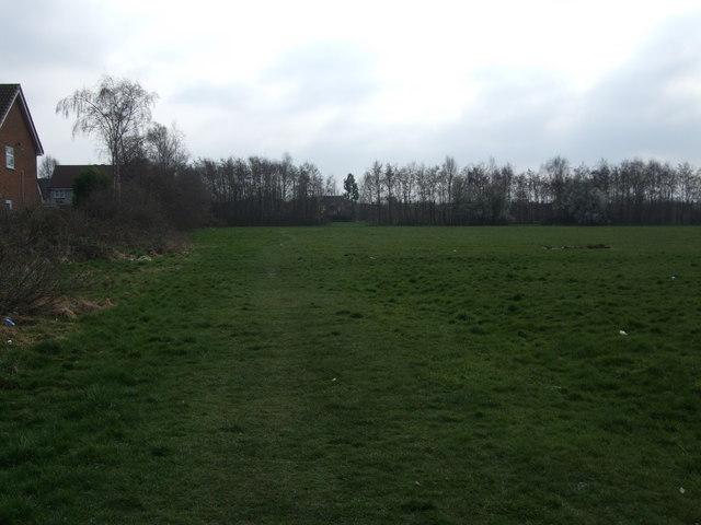
Playing fields,top end of Croft Road
Introduction
The photograph on this page of Playing fields,top end of Croft Road by C as part of the Geograph project.
The Geograph project started in 2005 with the aim of publishing, organising and preserving representative images for every square kilometre of Great Britain, Ireland and the Isle of Man.
There are currently over 7.5m images from over 14,400 individuals and you can help contribute to the project by visiting https://www.geograph.org.uk

Image: © C Taken: 6 May 2011
Playing fields at the top end of Croft Road, looking towards Brooklands and Baguley Brook. The slight trenches you can see in the grass belonged to the Beech Farm which stood on the spot. Which is were the estate got its name (Beech Farm estate) and the old primary school (Beeches primary school) which stood to the right of the pic, before they closed it down and sold it off for houses.

