Cilgerran Coracle Centre
Introduction
The photograph on this page of Cilgerran Coracle Centre by Jeremy Bolwell as part of the Geograph project.
The Geograph project started in 2005 with the aim of publishing, organising and preserving representative images for every square kilometre of Great Britain, Ireland and the Isle of Man.

There are currently over 7.5m images from over 14,400 individuals and you can help contribute to the project by visiting https://www.geograph.org.uk
Cilgerran Coracle Centre
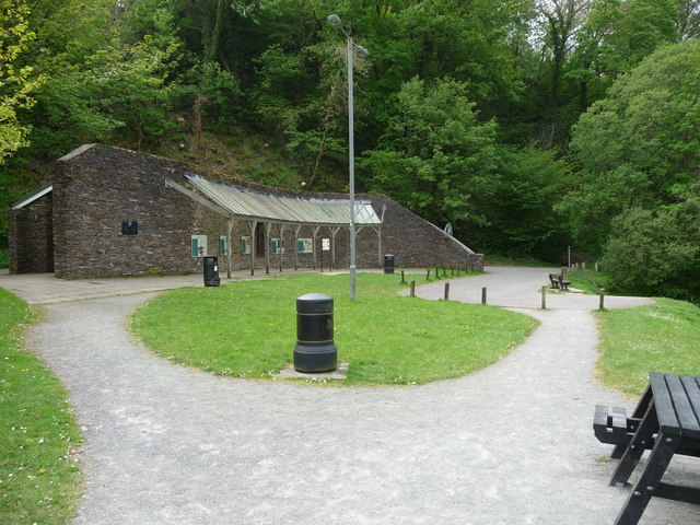
Image: © Jeremy Bolwell Taken: 1 May 2011
The centre provides information on the history of coracle fishing on the River Teifi, which it overlooks, with ample car parking space, benches and picnic tables for visitors and waymarked walks through the woods, along the river and up to the castle and village.
Images are licensed for reuse under creativecommons.org/licenses/by-sa/2.0
Image Location
Latitude
52.05529
Longitude
-4.629395