Farmland at Firby
Introduction
The photograph on this page of Farmland at Firby by Gordon Hatton as part of the Geograph project.
The Geograph project started in 2005 with the aim of publishing, organising and preserving representative images for every square kilometre of Great Britain, Ireland and the Isle of Man.

There are currently over 7.5m images from over 14,400 individuals and you can help contribute to the project by visiting https://www.geograph.org.uk
Farmland at Firby
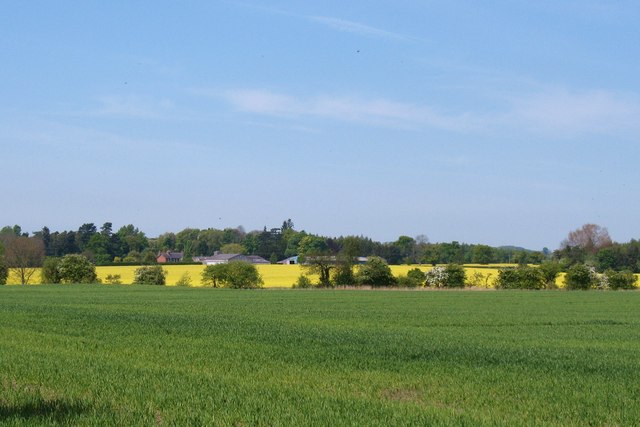
Image: © Gordon Hatton Taken: 4 May 2011
A view across fields at Hollins Farm towards Firby House farm. The line of trees across the middle of the picture indicate the line of Firby Beck.
Images are licensed for reuse under creativecommons.org/licenses/by-sa/2.0
Image Location
Latitude
54.270619
Longitude
-1.576168