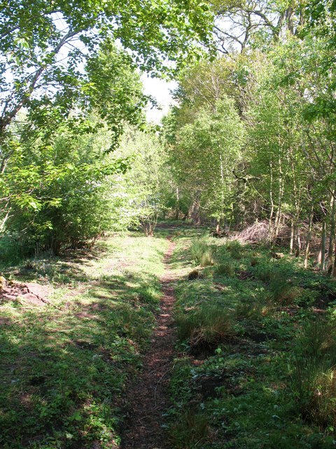
Path through Rough Plantation
Introduction
The photograph on this page of Path through Rough Plantation by Gordon Hatton as part of the Geograph project.
The Geograph project started in 2005 with the aim of publishing, organising and preserving representative images for every square kilometre of Great Britain, Ireland and the Isle of Man.
There are currently over 7.5m images from over 14,400 individuals and you can help contribute to the project by visiting https://www.geograph.org.uk

Image: © Gordon Hatton Taken: 4 May 2011
Rough Plantation forms a block of woodland in the area known as Snape Mires, formerly an ill drained marshy area in a shallow bowl between the villages of Snape, Burneston and Exelby, and once the site of a glacial lake. The ground here varies considerably between clay, peat and damp areas with reedbeds, and an examination of the map reveals many small patches ringed by the 30m contour, some of which are slight bumps and others small depressions.

