Garston Wood, path
Introduction
The photograph on this page of Garston Wood, path by Mike Faherty as part of the Geograph project.
The Geograph project started in 2005 with the aim of publishing, organising and preserving representative images for every square kilometre of Great Britain, Ireland and the Isle of Man.

There are currently over 7.5m images from over 14,400 individuals and you can help contribute to the project by visiting https://www.geograph.org.uk
Garston Wood, path
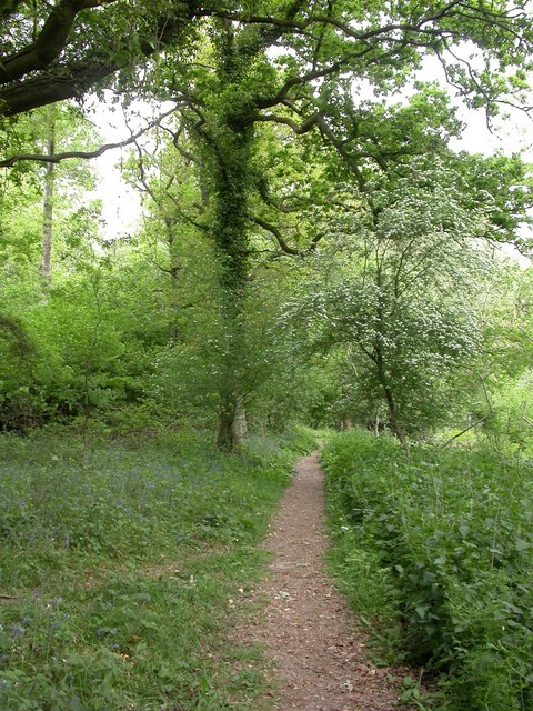
Image: © Mike Faherty Taken: 5 May 2011
In the southern part of the RSPB nature reserve; bluebells are still visible, but have gone over. http://www.rspb.org.uk/reserves/guide/g/garstonwood/about.aspx
Images are licensed for reuse under creativecommons.org/licenses/by-sa/2.0
Image Location
Latitude
50.966819
Longitude
-1.994395