Royal Victoria Yard
Introduction
The photograph on this page of Royal Victoria Yard by Derek Harper as part of the Geograph project.
The Geograph project started in 2005 with the aim of publishing, organising and preserving representative images for every square kilometre of Great Britain, Ireland and the Isle of Man.

There are currently over 7.5m images from over 14,400 individuals and you can help contribute to the project by visiting https://www.geograph.org.uk
Royal Victoria Yard
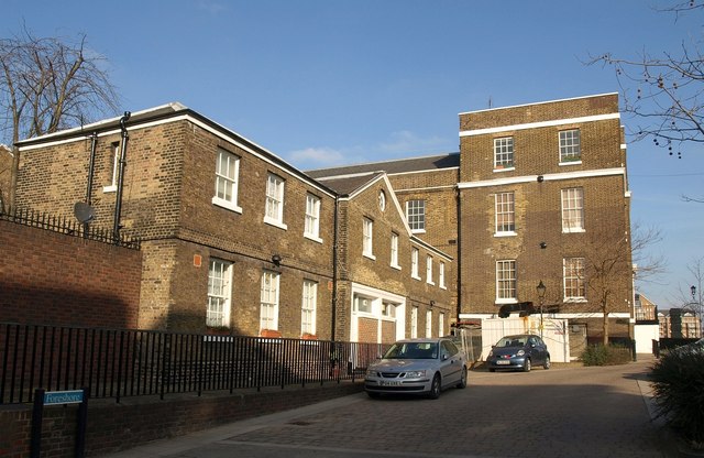
Image: © Derek Harper Taken: 9 Feb 2011
Former naval buildings by the Thames. The nearer were once stables http://www.britishlistedbuildings.co.uk/en-203302-foreshore-3-7-deptford ; beyond are former warehouses http://www.britishlistedbuildings.co.uk/en-203301-club-boathouse-and-prmises-6-66-deptford .
Images are licensed for reuse under creativecommons.org/licenses/by-sa/2.0
Image Location
Latitude
51.489535
Longitude
-0.03085