Southern boundary of Penygarn, Pontypool
Introduction
The photograph on this page of Southern boundary of Penygarn, Pontypool by Jaggery as part of the Geograph project.
The Geograph project started in 2005 with the aim of publishing, organising and preserving representative images for every square kilometre of Great Britain, Ireland and the Isle of Man.

There are currently over 7.5m images from over 14,400 individuals and you can help contribute to the project by visiting https://www.geograph.org.uk
Southern boundary of Penygarn, Pontypool
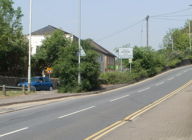
Image: © Jaggery Taken: 4 May 2011
Viewed from the edge of the former Up & Under pub. http://www.geograph.org.uk/photo/2392798 Park Road heads away from central Pontypool into Penygarn, an area on the NE side of Pontypool.
Images are licensed for reuse under creativecommons.org/licenses/by-sa/2.0
Image Location
Latitude
51.704014
Longitude
-3.041867