Track to Pleasley Park
Introduction
The photograph on this page of Track to Pleasley Park by Michael Patterson as part of the Geograph project.
The Geograph project started in 2005 with the aim of publishing, organising and preserving representative images for every square kilometre of Great Britain, Ireland and the Isle of Man.

There are currently over 7.5m images from over 14,400 individuals and you can help contribute to the project by visiting https://www.geograph.org.uk
Track to Pleasley Park
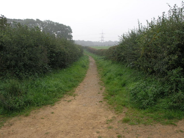
Image: © Michael Patterson Taken: 12 Sep 2006
This track joins Shirebrook with Pleasley Park and would have probably been used by workers from the village to get to work in the mills at Pleasley. Image
Images are licensed for reuse under creativecommons.org/licenses/by-sa/2.0
Image Location
Latitude
53.192877
Longitude
-1.22398