Syston Grange Farm
Introduction
The photograph on this page of Syston Grange Farm by Simon Mortimer as part of the Geograph project.
The Geograph project started in 2005 with the aim of publishing, organising and preserving representative images for every square kilometre of Great Britain, Ireland and the Isle of Man.

There are currently over 7.5m images from over 14,400 individuals and you can help contribute to the project by visiting https://www.geograph.org.uk
Syston Grange Farm
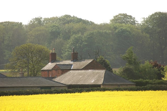
Image: © Simon Mortimer Taken: 30 Apr 2011
The farm buildings date to the first part of the 19th Century. This was the home farm of the Thorold Estate at Syston Park.
Images are licensed for reuse under creativecommons.org/licenses/by-sa/2.0
Image Location
Latitude
52.952983
Longitude
-0.576243