Benchmark in a pub wall
Introduction
The photograph on this page of Benchmark in a pub wall by Neil Owen as part of the Geograph project.
The Geograph project started in 2005 with the aim of publishing, organising and preserving representative images for every square kilometre of Great Britain, Ireland and the Isle of Man.

There are currently over 7.5m images from over 14,400 individuals and you can help contribute to the project by visiting https://www.geograph.org.uk
Benchmark in a pub wall
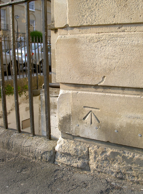
Image: © Neil Owen Taken: 21 Apr 2011
A nice cut mark on the wall of the Pulteney Arms pub in Daniel Street. See http://www.bench-marks.org.uk/bm37814 for the Benchmark Database and Image] for a general view. The row of markers continue along the length of the wall but don't seem to have an explanation. Could they mark a flood level of times past?
Images are licensed for reuse under creativecommons.org/licenses/by-sa/2.0
Image Location
Latitude
51.385763
Longitude
-2.352885