Bus stop and shelter facing road to Dingestow
Introduction
The photograph on this page of Bus stop and shelter facing road to Dingestow by Jaggery as part of the Geograph project.
The Geograph project started in 2005 with the aim of publishing, organising and preserving representative images for every square kilometre of Great Britain, Ireland and the Isle of Man.

There are currently over 7.5m images from over 14,400 individuals and you can help contribute to the project by visiting https://www.geograph.org.uk
Bus stop and shelter facing road to Dingestow
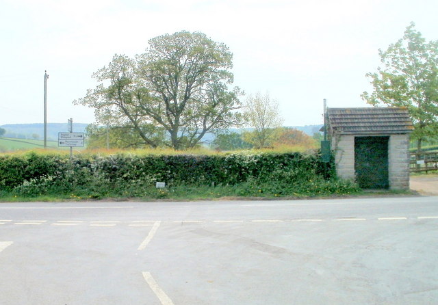
Image: © Jaggery Taken: 1 May 2011
A Monmouth Road bus stop on route 60 (Monmouth to Newport) and route 83 (Monmouth to Abergavenny) is viewed from the road from the village of Dingestow. The signs on the left show Left for Monmouth (4 miles) Right for Raglan (3½ miles).
Images are licensed for reuse under creativecommons.org/licenses/by-sa/2.0
Image Location
Latitude
51.783371
Longitude
-2.779856