2011 : A4174 Avon Ring Road
Introduction
The photograph on this page of 2011 : A4174 Avon Ring Road by Maurice Pullin as part of the Geograph project.
The Geograph project started in 2005 with the aim of publishing, organising and preserving representative images for every square kilometre of Great Britain, Ireland and the Isle of Man.

There are currently over 7.5m images from over 14,400 individuals and you can help contribute to the project by visiting https://www.geograph.org.uk
2011 : A4174 Avon Ring Road
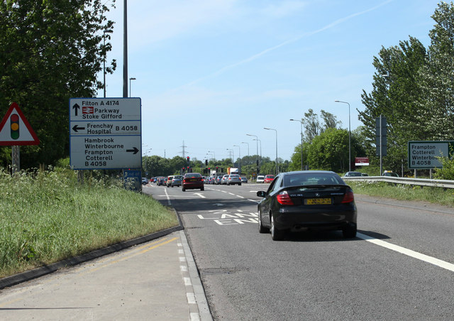
Image: © Maurice Pullin Taken: 2 May 2011
It is the Bristol Ring Road really because there is no such place as Avon now, and it isn't really a ring road because it only goes about half way round. The rest of it is OK though. Approaching the junction with the B4058, Frenchay, Stapleton and Bristol to the south, Hambrook, Winterbourne and Frampton Cotterell to the north.
Images are licensed for reuse under creativecommons.org/licenses/by-sa/2.0
Image Location
Latitude
51.503745
Longitude
-2.518761