All Saints Church
Introduction
The photograph on this page of All Saints Church by Ashley Dace as part of the Geograph project.
The Geograph project started in 2005 with the aim of publishing, organising and preserving representative images for every square kilometre of Great Britain, Ireland and the Isle of Man.

There are currently over 7.5m images from over 14,400 individuals and you can help contribute to the project by visiting https://www.geograph.org.uk
All Saints Church
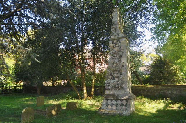
Image: © Ashley Dace Taken: 2 May 2011
Once sited beyond here Image] the church fell into disuse in the 1750s and slowly fell into the sea. The tower going in 1919. The last chunk is the NW buttress that was moved inland.
Images are licensed for reuse under creativecommons.org/licenses/by-sa/2.0
Image Location
Latitude
52.277243
Longitude
1.626748