Lane from Rudgwick Grange nears Loxwood Road
Introduction
The photograph on this page of Lane from Rudgwick Grange nears Loxwood Road by Robin Webster as part of the Geograph project.
The Geograph project started in 2005 with the aim of publishing, organising and preserving representative images for every square kilometre of Great Britain, Ireland and the Isle of Man.

There are currently over 7.5m images from over 14,400 individuals and you can help contribute to the project by visiting https://www.geograph.org.uk
Lane from Rudgwick Grange nears Loxwood Road
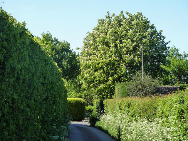
Image: © Robin Webster Taken: 2 May 2011
The Horse Chestnut tree is on the other side of Loxwood Road. The hedge on the right shields Barnsfold Nurseries (wholesale). The northern part of this private lane is also a public footpath. It is also access to several other premises as well as the Rudgwick Grange.
Images are licensed for reuse under creativecommons.org/licenses/by-sa/2.0
Image Location
Latitude
51.078148
Longitude
-0.479364