Elm Lodge
Introduction
The photograph on this page of Elm Lodge by Simon Carey as part of the Geograph project.
The Geograph project started in 2005 with the aim of publishing, organising and preserving representative images for every square kilometre of Great Britain, Ireland and the Isle of Man.

There are currently over 7.5m images from over 14,400 individuals and you can help contribute to the project by visiting https://www.geograph.org.uk
Elm Lodge
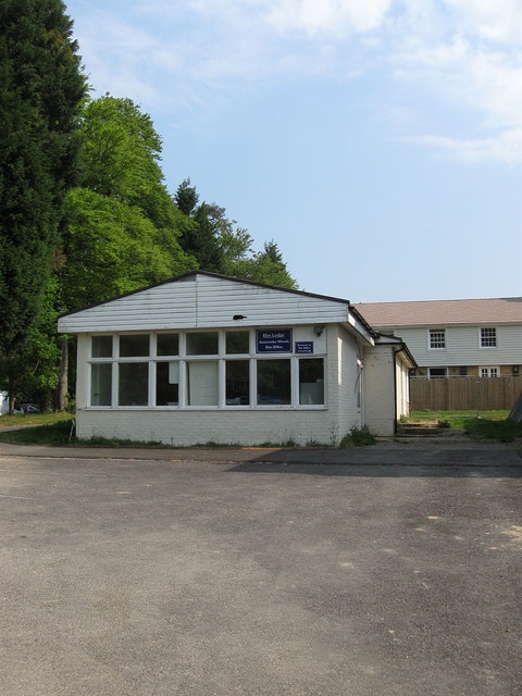
Image: © Simon Carey Taken: 30 Apr 2011
The hut to the rear is currently the site office for the ongoing redevelopment of the former hospital and the grounds, beyond the former staff quarters are now residential units.
Images are licensed for reuse under creativecommons.org/licenses/by-sa/2.0
Image Location
Latitude
50.990266
Longitude
-0.09737