Mudfields Farm Crossing
Introduction
The photograph on this page of Mudfields Farm Crossing by roger geach as part of the Geograph project.
The Geograph project started in 2005 with the aim of publishing, organising and preserving representative images for every square kilometre of Great Britain, Ireland and the Isle of Man.

There are currently over 7.5m images from over 14,400 individuals and you can help contribute to the project by visiting https://www.geograph.org.uk
Mudfields Farm Crossing
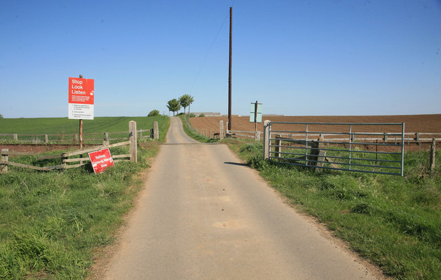
Image: © roger geach Taken: 1 May 2011
Rural farm accommodation crossing the private railway line in open country.
Images are licensed for reuse under creativecommons.org/licenses/by-sa/2.0
Image Location
Latitude
54.298064
Longitude
-1.642264