St Paul's recreation ground, Brentford
Introduction
The photograph on this page of St Paul's recreation ground, Brentford by Stephen Craven as part of the Geograph project.
The Geograph project started in 2005 with the aim of publishing, organising and preserving representative images for every square kilometre of Great Britain, Ireland and the Isle of Man.

There are currently over 7.5m images from over 14,400 individuals and you can help contribute to the project by visiting https://www.geograph.org.uk
St Paul's recreation ground, Brentford
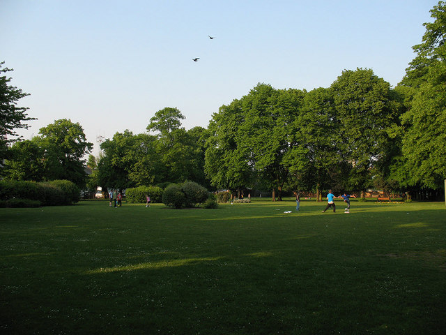
Image: © Stephen Craven Taken: 30 Apr 2011
An open space at the east end of St Paul's Road.
Images are licensed for reuse under creativecommons.org/licenses/by-sa/2.0
Image Location
Latitude
51.485362
Longitude
-0.304835