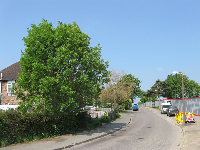
Hanbury Lane
Introduction
The photograph on this page of Hanbury Lane by Simon Carey as part of the Geograph project.
The Geograph project started in 2005 with the aim of publishing, organising and preserving representative images for every square kilometre of Great Britain, Ireland and the Isle of Man.
There are currently over 7.5m images from over 14,400 individuals and you can help contribute to the project by visiting https://www.geograph.org.uk

Image: © Simon Carey Taken: 30 Apr 2011
The original course of America Lane which ran up the hill then turned south down Barn Cottage Lane before heading west again along its current course. The development of the area after the Second World War saw America Lane rerouted to the south and its former route given its current name. The boarded fence to the right marks the former location of Wilmington Way which is being redeveloped.

