Redeveloping Wilmington Way (1)
Introduction
The photograph on this page of Redeveloping Wilmington Way (1) by Simon Carey as part of the Geograph project.
The Geograph project started in 2005 with the aim of publishing, organising and preserving representative images for every square kilometre of Great Britain, Ireland and the Isle of Man.

There are currently over 7.5m images from over 14,400 individuals and you can help contribute to the project by visiting https://www.geograph.org.uk
Redeveloping Wilmington Way (1)
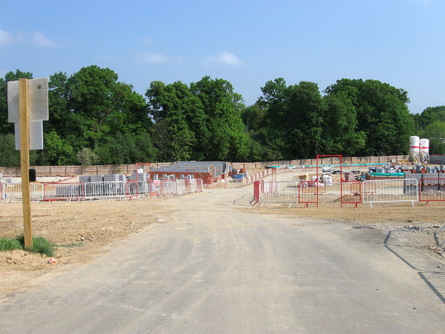
Image: © Simon Carey Taken: 30 Apr 2011
Viewed through the gate on Hanbury Lane. The area was an open field until after the Second World War when a series of prefabs was constructed on the northern side of the lane. This lasted until the late 1960s when the council built Wilmington Way as a stopgap measure to ease the housing crisis. These houses were also prefabricated and designed to last twenty years though in the end they hung around for over forty. A total of 185 new homes and flats will be built on the site with the estate to be renamed expunging Wilmington Way to history. See Image, Image and Image for an old view. For an updated view taken four years on, see: Image Image Image Image Image Image
Images are licensed for reuse under creativecommons.org/licenses/by-sa/2.0
Image Location
Latitude
51.003473
Longitude
-0.085569