Western Road
Introduction
The photograph on this page of Western Road by Simon Carey as part of the Geograph project.
The Geograph project started in 2005 with the aim of publishing, organising and preserving representative images for every square kilometre of Great Britain, Ireland and the Isle of Man.

There are currently over 7.5m images from over 14,400 individuals and you can help contribute to the project by visiting https://www.geograph.org.uk
Western Road
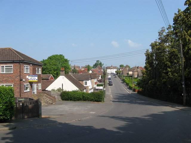
Image: © Simon Carey Taken: 30 Apr 2011
Opposite view of Image looking up towards the junction with New England Road. Like the surrounding roads it was laid out before the First World War but not developed until after. The empty office block on the left, Progress House, was built on the site of a builders yard.
Images are licensed for reuse under creativecommons.org/licenses/by-sa/2.0
Image Location
Latitude
50.999269
Longitude
-0.092441