North Road
Introduction
The photograph on this page of North Road by Simon Carey as part of the Geograph project.
The Geograph project started in 2005 with the aim of publishing, organising and preserving representative images for every square kilometre of Great Britain, Ireland and the Isle of Man.

There are currently over 7.5m images from over 14,400 individuals and you can help contribute to the project by visiting https://www.geograph.org.uk
North Road
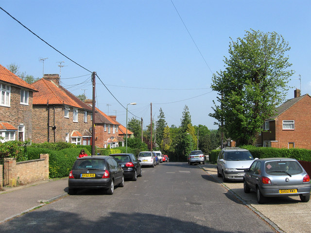
Image: © Simon Carey Taken: 30 Apr 2011
A continuation of Eastern Road as it turns west towards a junction with Western Road. The road was laid out on the site of Petlands Wood before the First World War though it was rerouted after and the houses on the left built in the 1920s. Those on the right, including a number of bungalows out of shot were not added until the 1960s.
Images are licensed for reuse under creativecommons.org/licenses/by-sa/2.0
Image Location
Latitude
50.997455
Longitude
-0.091518