Footpath sign south of Tinker's Barn, Walberswick Common
Introduction
The photograph on this page of Footpath sign south of Tinker's Barn, Walberswick Common by Evelyn Simak as part of the Geograph project.
The Geograph project started in 2005 with the aim of publishing, organising and preserving representative images for every square kilometre of Great Britain, Ireland and the Isle of Man.

There are currently over 7.5m images from over 14,400 individuals and you can help contribute to the project by visiting https://www.geograph.org.uk
Footpath sign south of Tinker's Barn, Walberswick Common
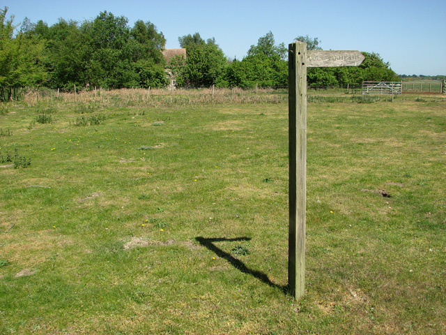
Image: © Evelyn Simak Taken: 1 May 2011
The house can be glimpsed amongst the trees seen in the background. The Common comprises over 162 acres (65 hectares) of land, mainly heathland, in and around Walberswick. It was once traversed by the Southwold to Halesworth railway line which has since been dismantled, with sections of it serving as footpaths. The Common is managed by the Walberswick Common Lands Charity (founded in 1901) which uses the income from its lands to protect the environment and provide charitable benefit to the inhabitants of Walberswick.
Images are licensed for reuse under creativecommons.org/licenses/by-sa/2.0
Image Location
Latitude
52.32098
Longitude
1.643538