Old Guildford Road at B3012
Introduction
The photograph on this page of Old Guildford Road at B3012 by David Howard as part of the Geograph project.
The Geograph project started in 2005 with the aim of publishing, organising and preserving representative images for every square kilometre of Great Britain, Ireland and the Isle of Man.

There are currently over 7.5m images from over 14,400 individuals and you can help contribute to the project by visiting https://www.geograph.org.uk
Old Guildford Road at B3012
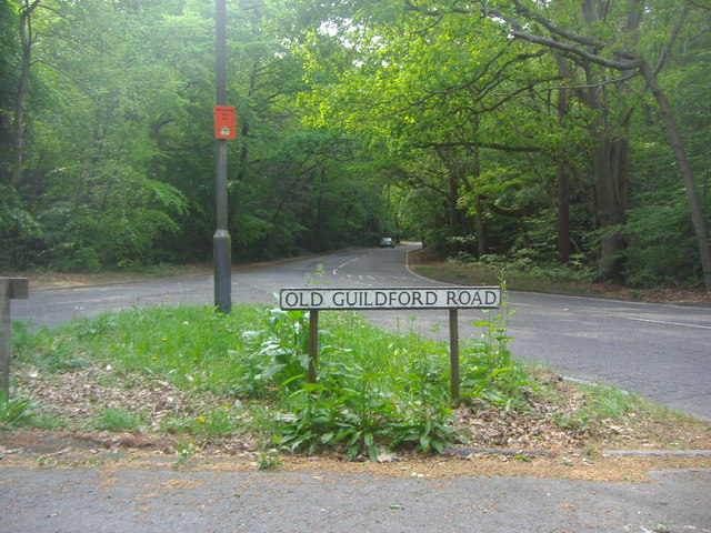
Image: © David Howard Taken: 1 May 2011
The Old Guildford Road is now deemed unsuitable for traffic and closed some way along to make sure it is no longer used.
Images are licensed for reuse under creativecommons.org/licenses/by-sa/2.0
Image Location
Latitude
51.298153
Longitude
-0.715952