Lodge, Rookhurst House
Introduction
The photograph on this page of Lodge, Rookhurst House by Simon Carey as part of the Geograph project.
The Geograph project started in 2005 with the aim of publishing, organising and preserving representative images for every square kilometre of Great Britain, Ireland and the Isle of Man.

There are currently over 7.5m images from over 14,400 individuals and you can help contribute to the project by visiting https://www.geograph.org.uk
Lodge, Rookhurst House
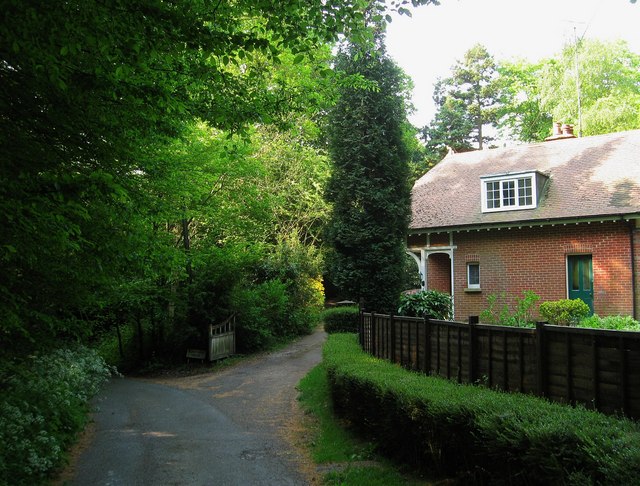
Image: © Simon Carey Taken: 30 Apr 2011
Built in the first decade of the 20th century along with the house it served. The latter began life as Sunny Mount, became Kenterne in the 1930s before changing to its current name sometime in the 1960s. Colwell Lane is on the left.
Images are licensed for reuse under creativecommons.org/licenses/by-sa/2.0
Image Location
Latitude
50.989329
Longitude
-0.078599