St Francis Park
Introduction
The photograph on this page of St Francis Park by Simon Carey as part of the Geograph project.
The Geograph project started in 2005 with the aim of publishing, organising and preserving representative images for every square kilometre of Great Britain, Ireland and the Isle of Man.

There are currently over 7.5m images from over 14,400 individuals and you can help contribute to the project by visiting https://www.geograph.org.uk
St Francis Park
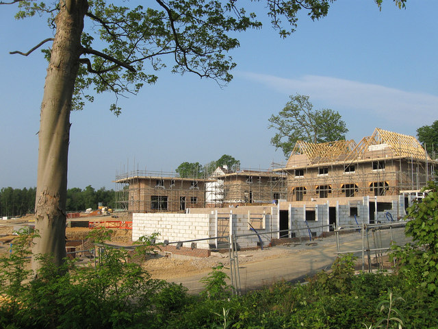
Image: © Simon Carey Taken: 30 Apr 2011
New housing estate being built as part of the Haywards Heath relief road scheme. It lies between the western edge of Southdowns Park, the former St Francis Hospital and the remains of Anscombe Wood in the distance to the left much of which has been grubbed to make way for the estate. A small field called Nine Acres, according to Wivelsfield's 1843 tithe map once stood to the immediate right. The area was part of Wivelsfield parish until 1934 when it was transferred to Haywards Heath
Images are licensed for reuse under creativecommons.org/licenses/by-sa/2.0
Image Location
Latitude
50.988052
Longitude
-0.099455