Watsons Bakery
Introduction
The photograph on this page of Watsons Bakery by Colin Smith as part of the Geograph project.
The Geograph project started in 2005 with the aim of publishing, organising and preserving representative images for every square kilometre of Great Britain, Ireland and the Isle of Man.

There are currently over 7.5m images from over 14,400 individuals and you can help contribute to the project by visiting https://www.geograph.org.uk
Watsons Bakery
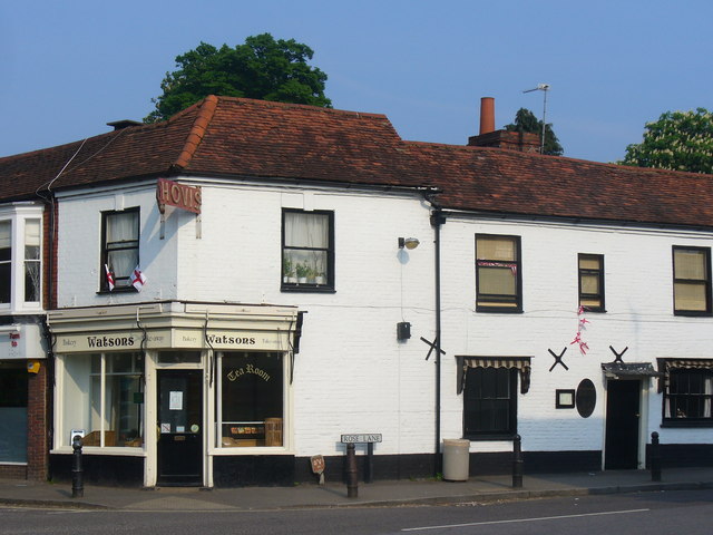
Image: © Colin Smith Taken: 29 Apr 2011
Bakery and tea room at the corner of High Street and Rose Lane - with Royal Wedding bunting. www.ripleyvillage.org.uk
Images are licensed for reuse under creativecommons.org/licenses/by-sa/2.0
Image Location
Latitude
51.300153
Longitude
-0.491549