Eastern edge of Mitchel Troy, Monmouthshire
Introduction
The photograph on this page of Eastern edge of Mitchel Troy, Monmouthshire by Jaggery as part of the Geograph project.
The Geograph project started in 2005 with the aim of publishing, organising and preserving representative images for every square kilometre of Great Britain, Ireland and the Isle of Man.

There are currently over 7.5m images from over 14,400 individuals and you can help contribute to the project by visiting https://www.geograph.org.uk
Eastern edge of Mitchel Troy, Monmouthshire
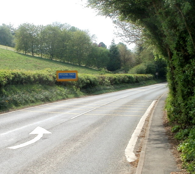
Image: © Jaggery Taken: 24 Apr 2011
Formerly part of the A40, the road is now a relatively quiet route through the village of Mitchel Troy. Most traffic uses the modern-day A40, a couple of hundred metres to the north. Mitchel Troy is in NE Monmouthshire, about 3 miles SW of the town of Monmouth. The Troy part of its name is a variant of Trothy (Troddi in Welsh), a tributary of the River Wye. There are two theories about Mitchel - it could be a variant of Michael, from the name of the village church, St Michael and All Angels, or perhaps a variant of the Old English mickle, (much or great) to distinguish the village from the nearby manor of Troy Parva.
Images are licensed for reuse under creativecommons.org/licenses/by-sa/2.0
Image Location
Latitude
51.790862
Longitude
-2.733588