NE end of Western Terrace, Cwmfelinfach
Introduction
The photograph on this page of NE end of Western Terrace, Cwmfelinfach by Jaggery as part of the Geograph project.
The Geograph project started in 2005 with the aim of publishing, organising and preserving representative images for every square kilometre of Great Britain, Ireland and the Isle of Man.

There are currently over 7.5m images from over 14,400 individuals and you can help contribute to the project by visiting https://www.geograph.org.uk
NE end of Western Terrace, Cwmfelinfach
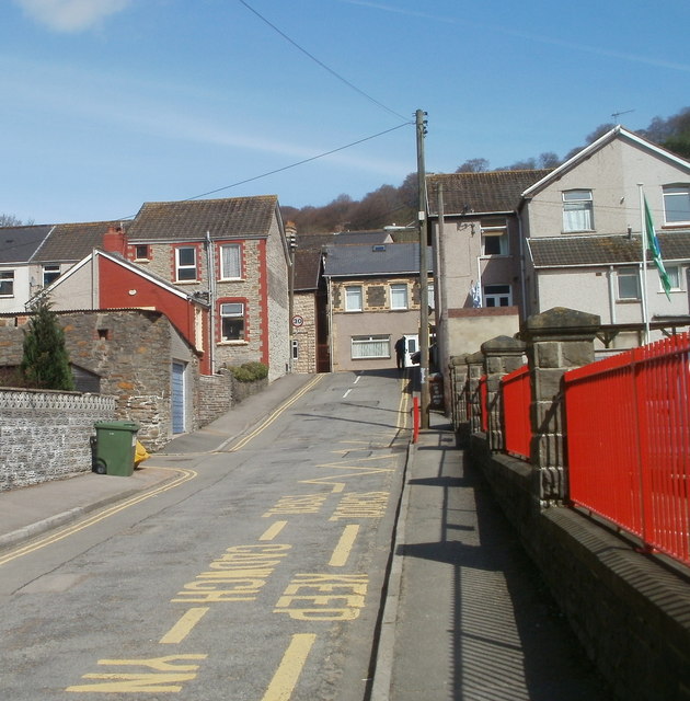
Image: © Jaggery Taken: 7 Apr 2011
The view from near the corner of King Street http://www.geograph.org.uk/photo/2385081 along Western Terrace towards Maindee Road (B4251). Maindee Road is shown on older maps as the A4048. The railings are at the perimeter of Cwmfelinfach Primary School. http://www.geograph.org.uk/photo/2385074
Images are licensed for reuse under creativecommons.org/licenses/by-sa/2.0
Image Location
Latitude
51.619085
Longitude
-3.180032