The Folly
Introduction
The photograph on this page of The Folly by Steve Coffin as part of the Geograph project.
The Geograph project started in 2005 with the aim of publishing, organising and preserving representative images for every square kilometre of Great Britain, Ireland and the Isle of Man.

There are currently over 7.5m images from over 14,400 individuals and you can help contribute to the project by visiting https://www.geograph.org.uk
The Folly
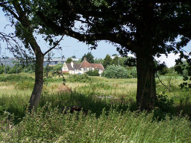
Image: © Steve Coffin Taken: 1 Jul 2008
The Folly Inn, Westerleigh Road from Hytoken House, Howsmoor Lane. The view, the house and indeed much of the lane no longer exists, as Bristol Science Park is built over the land.
Images are licensed for reuse under creativecommons.org/licenses/by-sa/2.0
Image Location
Latitude
51.502295
Longitude
-2.479125