Lostwithiel: by the site of Restormel iron mine
Introduction
The photograph on this page of Lostwithiel: by the site of Restormel iron mine by Martin Bodman as part of the Geograph project.
The Geograph project started in 2005 with the aim of publishing, organising and preserving representative images for every square kilometre of Great Britain, Ireland and the Isle of Man.

There are currently over 7.5m images from over 14,400 individuals and you can help contribute to the project by visiting https://www.geograph.org.uk
Lostwithiel: by the site of Restormel iron mine
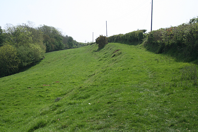
Image: © Martin Bodman Taken: 27 Apr 2011
The Restormel Royal Mine site occupied a linear sett, running north-south, which included the woodland to the left. Workings were partly in an openwork and partly underground. 200,000 tons of iron ore was raised between the 1850s and closure in 1886. The ore was taken by tramway, which included an incline plane to lower wagons to the Fowey valley. Horses then hauled the freight to quays on the Fowey at Lostwithiel town
Images are licensed for reuse under creativecommons.org/licenses/by-sa/2.0
Image Location
Latitude
50.417383
Longitude
-4.677801