Burn, Newbiggin Dean
Introduction
The photograph on this page of Burn, Newbiggin Dean by Richard Webb as part of the Geograph project.
The Geograph project started in 2005 with the aim of publishing, organising and preserving representative images for every square kilometre of Great Britain, Ireland and the Isle of Man.

There are currently over 7.5m images from over 14,400 individuals and you can help contribute to the project by visiting https://www.geograph.org.uk
Burn, Newbiggin Dean
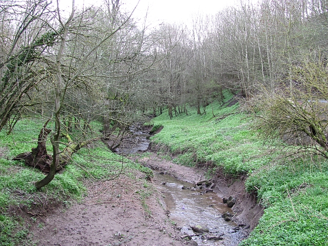
Image: © Richard Webb Taken: 2 Apr 2011
The burn just before the confluence with the Tweed. The bare ground is where high water in the Tweed backs up the small tributary. This stream has several names upstream, but I am not sure what the final stretch through the dean is called.
Images are licensed for reuse under creativecommons.org/licenses/by-sa/2.0
Image Location


Leaflet Map data © OpenStreetMap
Latitude
55.706433
Longitude
-2.164833