Cut Mark #2: Manley Road, Manley
Introduction
The photograph on this page of Cut Mark #2: Manley Road, Manley by VBForever as part of the Geograph project.
The Geograph project started in 2005 with the aim of publishing, organising and preserving representative images for every square kilometre of Great Britain, Ireland and the Isle of Man.

There are currently over 7.5m images from over 14,400 individuals and you can help contribute to the project by visiting https://www.geograph.org.uk
Cut Mark #2: Manley Road, Manley
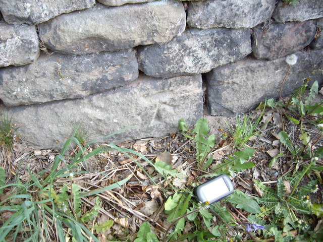
Image: © VBForever Taken: 22 Apr 2011
OS Cut Mark into sandstone wall next to a postbox on Manley Road, Manley. Number B11336 on the Benchmark Database, see http://www.bench-marks.org.uk/bm37715
Images are licensed for reuse under creativecommons.org/licenses/by-sa/2.0
Image Location
Latitude
53.243656
Longitude
-2.730074