Toposcope above Mount Pleasant on Yr Eifl
Introduction
The photograph on this page of Toposcope above Mount Pleasant on Yr Eifl by Jeremy Bolwell as part of the Geograph project.
The Geograph project started in 2005 with the aim of publishing, organising and preserving representative images for every square kilometre of Great Britain, Ireland and the Isle of Man.

There are currently over 7.5m images from over 14,400 individuals and you can help contribute to the project by visiting https://www.geograph.org.uk
Toposcope above Mount Pleasant on Yr Eifl
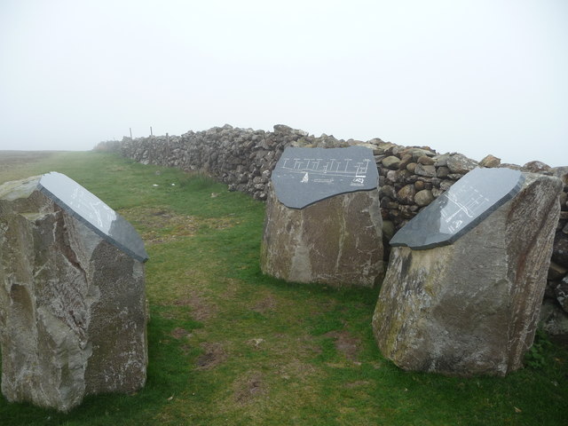
Image: © Jeremy Bolwell Taken: 23 Apr 2011
A little redundant in terms of its full use today but informative anyway. I do like a good toposcope.
Images are licensed for reuse under creativecommons.org/licenses/by-sa/2.0
Image Location


Leaflet Map data © OpenStreetMap
Latitude
52.966474
Longitude
-4.449082