House Mead
Introduction
The photograph on this page of House Mead by Simon Carey as part of the Geograph project.
The Geograph project started in 2005 with the aim of publishing, organising and preserving representative images for every square kilometre of Great Britain, Ireland and the Isle of Man.

There are currently over 7.5m images from over 14,400 individuals and you can help contribute to the project by visiting https://www.geograph.org.uk
House Mead
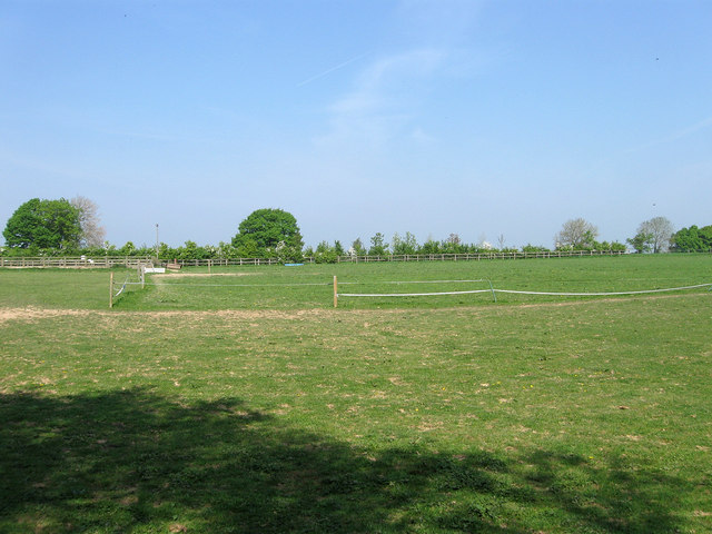
Image: © Simon Carey Taken: 24 Apr 2011
The name of the field according to Chailey's 1838 tithe map that has been extended to include Image to the north to form a large field immediately behind Wivelsden Farm.
Images are licensed for reuse under creativecommons.org/licenses/by-sa/2.0
Image Location
Latitude
50.970649
Longitude
-0.058432