Mill Lane, North Chailey
Introduction
The photograph on this page of Mill Lane, North Chailey by Simon Carey as part of the Geograph project.
The Geograph project started in 2005 with the aim of publishing, organising and preserving representative images for every square kilometre of Great Britain, Ireland and the Isle of Man.

There are currently over 7.5m images from over 14,400 individuals and you can help contribute to the project by visiting https://www.geograph.org.uk
Mill Lane, North Chailey
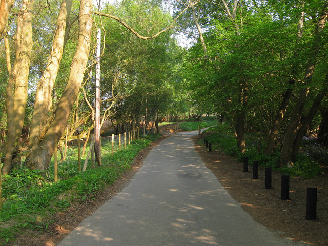
Image: © Simon Carey Taken: 24 Apr 2011
A view of the access road for the windmill and St George's. A couple of changes since I was last here, fences are now being erected around the edge of the commons in preparation for the livestock which will be allowed on the common to graze. In addition further up for the same purpose is a cattle grid.
Images are licensed for reuse under creativecommons.org/licenses/by-sa/2.0
Image Location
Latitude
50.973501
Longitude
-0.024697